
Map, compass, and GPS for hunters
Know your route, and carry a backup.
Disclosure: We may earn a commission if you buy through links on this page. It does not change what we recommend. Affiliate Disclosure
A Ten Essential
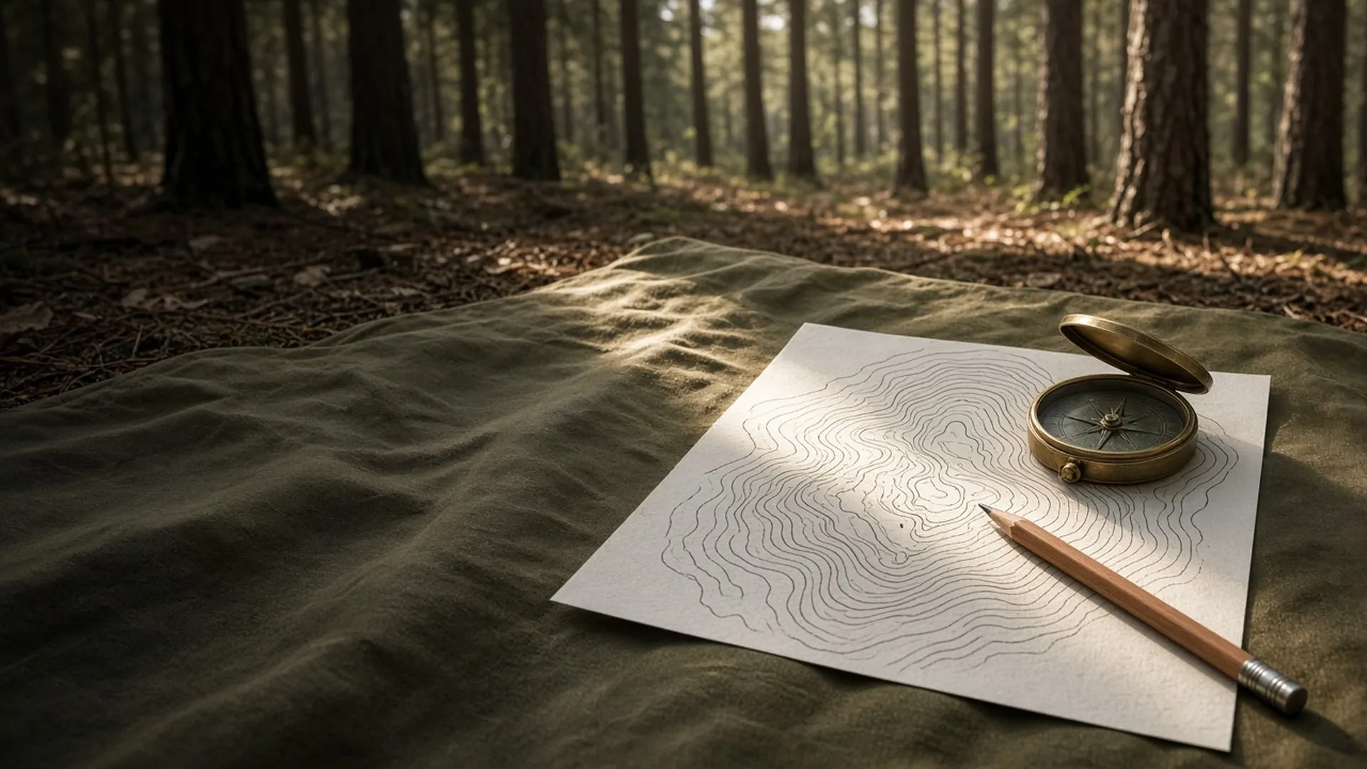
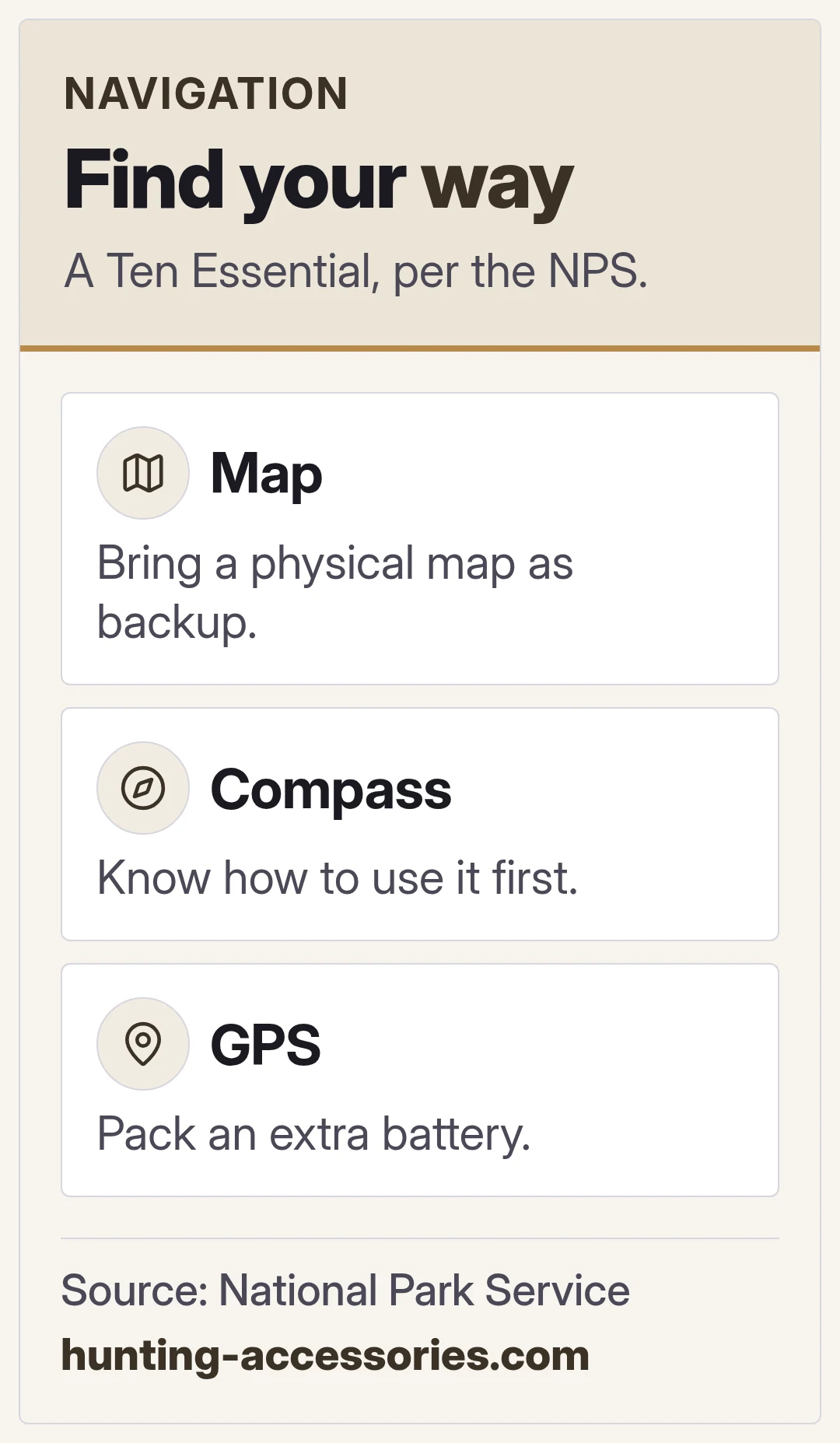
The National Park Service lists a map, compass, and GPS as the first of its Ten Essentials. It says to know how to use a topographic map, compass, or GPS unit before you go, and to bring a physical map as a backup.
What a topographic map shows
The USGS says topographic maps use contour lines, which connect points of the same elevation, to show the height and shape of the land and the steepness of slopes.
Phones and batteries
The Park Service says you can download a map onto your phone or GPS, and to pack an extra battery for your phone.
Tell someone
The Treestand Manufacturers Association says to let others know your exact hunting location and when you plan to return.
FAQ
General information only. Hunting laws, seasons, licenses, and hunter orange rules are set by each state; check your state wildlife agency's current regulations before you hunt, and take the hunter education course your state offers. If you hunt from a tree stand, wear a full-body fall arrest harness system every time you leave the ground, including while climbing up and down, follow the Treestand Manufacturers Association's Treestand Safety Guidelines and the maker's instructions, and have a plan for rescue. Tell someone where you will be and when you will return. In an emergency, call 911.
Next: what to pack
The Ten Essentials.
